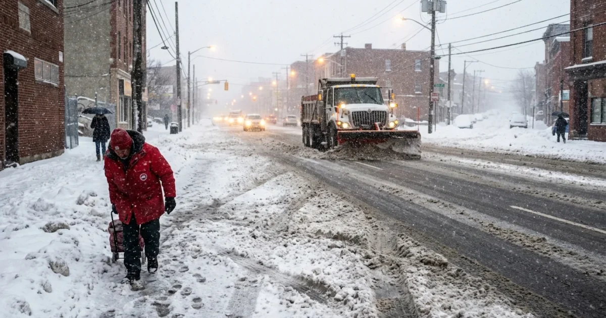
Snow is stacking up fast across central Indiana. I am tracking steady bands that flip from light flakes to heavy bursts in minutes. The result is a patchwork of totals, slick roads, and fast-changing plans. If you woke to a dusting, your friend a few miles away may be digging out. That is the story today, and it will keep shifting through tonight.
What I am seeing right now
This winter storm is delivering classic Midwest snow bands. One neighborhood gets a quick inch during a 30 minute squall. The next town sees lighter, slower flakes that barely coat the grass. Wind is pushing loose snow across open fields and into roads. Drifts are growing along east and north facing fences and curbs.
Travel is rough in spots. Main routes are plowed first, but the snow rate matters. When flakes fall faster than crews can make a pass, roads turn slushy and then packed. Visibility drops in bursts, then recovers, then drops again. Side streets and ramps are the weak links right now.
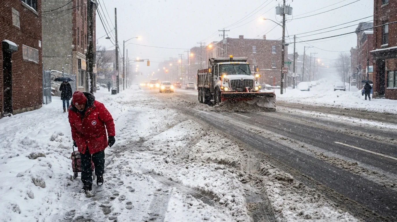
Expect brief whiteouts under the heaviest bands. If you must drive, slow down early, give extra space, and watch for plows and tow crews.
Why your town has a different total
Snow is not a blanket. It is a moving target shaped by temperature, moisture, and timing.
Narrow bands do the heavy lifting
These bands are like conveyor belts of moisture. Where they park, totals jump. Slide a few miles away, and you see half the depth. The sharp edges you notice are real. This is mesoscale weather, tight and intense.
Pavement and air temperatures matter
Bare ground that hovered near freezing at midday compacts snow from below. Warm pavement eats early flakes, then gives up as the rate increases. That is why late afternoon bursts piled up faster than morning flurries. Urban cores can run a touch warmer, so totals on city streets often lag nearby yards.
Wind and measuring technique
Wind scours open lots and stacks snow into ditches. A yardstick in a drift is not the truth. Even light compaction from wet flakes can shave the apparent total by an inch over a long event.
To measure fairly, use a flat board on a table, away from trees and drifts. Take three readings in your yard and average them. Clear the board every few hours to limit compaction.
How to read the totals and plan your day
Running totals are snapshots, not final scores. They lag the latest burst and they do not capture drifts well. Think in ranges, not single numbers. What matters for you is rate, timing, and wind on your route.
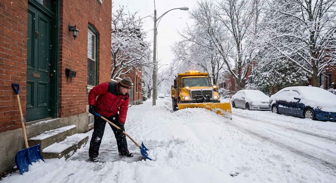
If you are deciding when to shovel, aim between the heavier bands. Clearing in two rounds is easier on your back and your sidewalk. For drivers, plan extra time and adjust for ramps and bridges, which freeze faster. For schools, events, and shift work, expect scattered delays to spill into early tomorrow if winds keep drifting tonight.
- Shovel first, salt second, and use only what you need
- Give plows a wide berth and never pass on the right
- Clear storm drains and hydrants near your home
- Park off street if you can so crews can widen lanes
Salts wash into streams and harm aquatic life. Shovel early, scrape tight, and treat only icy spots. A coffee mug of salt covers a typical driveway.
The climate picture behind today’s snow
Winters in Indiana are trending warmer, but the atmosphere now holds more moisture. When cold air does take control, that extra moisture can drop fast as heavy snow. This is why we see fewer long cold spells, yet still get strong, short bursts that lay down quick inches. The rain to snow line also wobbles more with small temperature shifts. That gives us sharp gradients and big swings over small distances.
Freeze and thaw cycles are more common in these patterns. They glaze roads at dawn, erode piles by afternoon, then re-freeze by evening. Potholes follow. Smart snow work today, like early shoveling and light, well-timed salt, protects both roads and rivers. Cities are shifting toward brine pre-treatment and calibrated spreaders to cut waste. Households can help by storing salt dry, using a scoop not a shovel for application, and sweeping leftover crystals back for reuse.
What comes next
Expect totals to keep ticking up under the strongest bands, then settle as the storm eases. Winds tonight may shuffle the landscape, making some roads seem worse even after the snow stops. Crews will make steady progress on main routes, then widen secondaries once the rate drops. If you can, wrap travel early and give overnight workers space to finish the job.
I will keep tracking band shifts, wind-driven drifts, and clean up progress through the evening. Measure with care, plan with flexibility, and think downstream as you clear your steps. The storm decides where the numbers land, but our choices decide how safely and sustainably we get through it.


