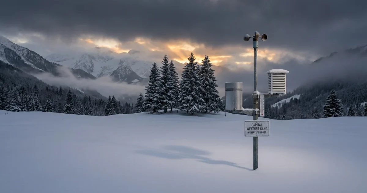
BREAKING: Capital Weather Gang locks in on likely weekend snow for D.C. region
The capital is on storm watch. My latest analysis shows a likely winter storm targeting the District and nearby suburbs this weekend. Confidence is rising for accumulating snow, hazardous travel, and disruptions from Saturday into Sunday. The key is the storm track and temperatures near the ground. A small shift could mean a big swing in totals for the city and I-95.
The storm is taking shape
A coastal low is expected to form along a sharp temperature boundary, then ride north. Cold air sits over the Mid-Atlantic now, but it is shallow. Warmer air over the ocean loads the storm with moisture. If the center stays just offshore, more of the region stays cold enough for snow. If it tucks closer, rain and mixing creep in toward the Beltway.
Timing looks focused on Saturday into Sunday. Snow could start in the mountains first, then spread east by midday Saturday. The heaviest rates would favor Saturday night, with a lighter ending on Sunday. The window could shift by several hours as new data arrives.
Plan for dangerous roads Saturday night into early Sunday, low visibility, slick spots, and scattered power outages.
What the models are saying now
Track and the rain snow line
Recent model runs keep the storm close enough to deliver strong lift and moisture. That supports a period of moderate to heavy snow, especially west and north of the city. The rain snow line will likely wobble near I-95. Downtown could flip between wet snow and a sloppy mix if coastal air noses in.
Timing and banding
Guidance favors a daytime start Saturday west of the Blue Ridge, then a midday to afternoon start for the D.C. metro. The peak looks like Saturday evening into the overnight. Narrow snow bands are possible, which can quickly pile up totals in favored zones. These bands are hard to place until 6 to 12 hours before onset.
Confidence and temperatures
Confidence in a weekend hit is improving. Snow amounts remain sensitive to surface temperatures of 31 to 34 degrees. Roads can go from wet to icy fast once rates pick up. Even a degree or two matters in the city core.
The rain snow line is not a fixed border. It wobbles with wind shifts and intensity, which can change your outcome street to street.
What to watch in the next 24 to 48 hours
The next model cycles will refine totals and timing. Here is what matters most:
- Exact track of the coastal low from the Carolinas to the Delmarva
- Warm air aloft pushing toward I-95, which can cause sleet
- Strength of high pressure to the north, feeding cold air into the region
- Ocean temperatures fueling moisture, which can boost snowfall rates

How to prepare without the hype
Make a plan, keep it calm, and stay flexible. If you have travel Saturday night, build in extra time or consider moving it. Expect flight delays during the peak. Events late Saturday are most at risk. Schools and offices will watch Sunday cleanup and Monday morning conditions.
Think safety and sustainability together. Brine early if you must, then go easy on rock salt. Heavy salt use harms streams and pets. Clear storm drains so meltwater can flow. Keep heaters and generators vented and outside. Check on neighbors who may lose power.
Charge devices, fuel up, and stage shovels and warm layers by the door. Work in short bursts to protect your back.
Climate context, and why this storm is tricky
Winter in the Mid-Atlantic is changing. A warmer atmosphere holds more moisture, so storms can wring out heavier precipitation. When the air is just cold enough, that can mean intense snow rates. When it is a touch warmer, it means more mixed precipitation near I-95. Sea surface temperatures off the coast are running above average, which can add energy and moisture to coastal systems.
This is why small temperature changes matter so much in D.C. A storm can be a plowable snow in Rockville, a slushy mess on the National Mall, and rain near the Potomac. Future winters will feature more of these knife edge setups. That increases the value of smart preparation, resilient infrastructure, and less damaging deicing methods.
The bottom line
A weekend winter storm is likely for D.C., Maryland, and Virginia. Expect the main impacts from Saturday afternoon through early Sunday. The exact mix of snow and sleet near the city depends on the final track and temperatures. Travel will be hazardous during the peak. Flight delays and event disruptions are likely.
Model runs through the next 24 to 48 hours will sharpen totals and timing. Watches and advisories are possible as the storm nears. I will update the forecast as new data comes in. Keep plans flexible, prep sensibly, and stay weather aware. ❄️


