Buffalo, heads up. Lake effect is switching on again, and it is aimed at us as we head toward New Year’s Eve. I am tracking narrow, intense snow bands forming off Lake Erie, with bursts that can bury a street in minutes. Freezing rain and sleet are also in the mix for a few zones, which means ice on roads and sidewalks. Travel could slow to a crawl at times, and brief power glitches are possible in wind driven snow.
What is setting up over Buffalo
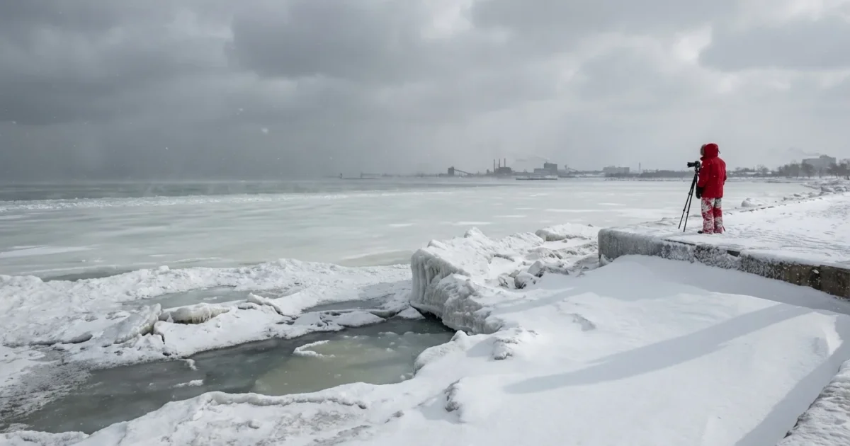
Cold, dry air is racing across the warmer waters of Lake Erie. The lake adds moisture and heat. That fuel rises, forms clouds, then lines up into narrow snow bands that point at the shoreline. A steady west to southwest wind favors this setup for our metro and the Southtowns. Where a band stalls, snow piles up fast. A few miles away, it can be quiet.
This is classic lake effect. It is also more likely when the lake stays warmer later into winter. Ice cover has been forming later in recent years, which leaves more open water. That adds energy to storms like this, and can extend the season for lake effect.

Whiteouts will be sudden near the core of any band. Visibility can drop to near zero in seconds. Slow down and do not overtake plows.
Timing, targets, and totals
Snow showers build late today and tonight, then organize into bands. The most persistent band may wobble between the Southtowns and the city through Tuesday, then drift before New Year’s Eve. Wind shifts will move the snow line, so neighborhoods will trade places under the fire hose. If a band parks, expect 1 to 2 inches per hour, with brief bursts higher.
Totals will vary a lot. A few blocks can make the difference. Some spots south or east of the city could push 6 to 12 inches by New Year’s Eve if the band sits for hours. Others will see several inches, with long lulls. Lighter mixed precipitation is possible near the edges of the band. That is where a thin glaze of ice can form on untreated roads and walkways.
Gusts can reach 25 to 35 miles per hour at times. That means blowing and drifting, especially in open areas and on higher ground. Expect sudden slick spots at ramps, bridges, and overpasses. Flights at BUF may face delays during the most intense bursts.
What this means for travel and power
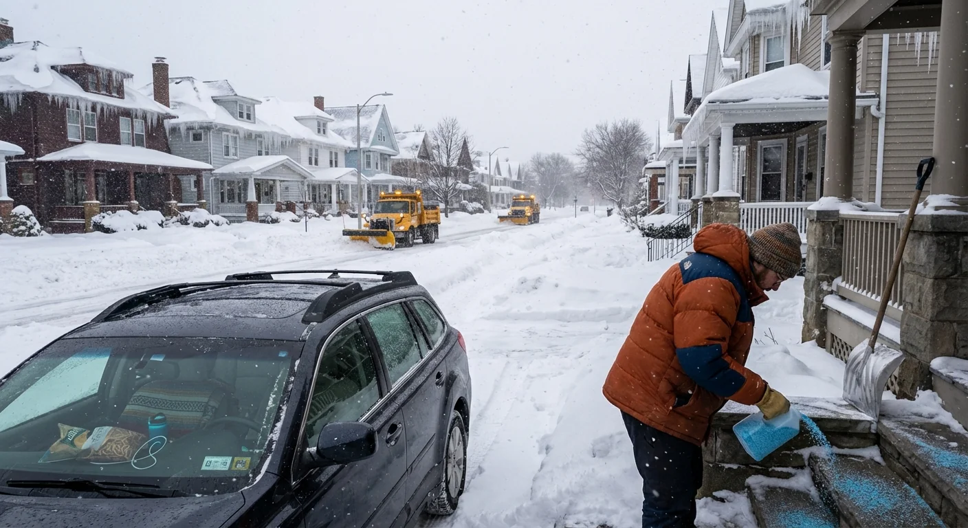
The I 90, I 190, 400, and 219 corridors are all in play. Visibility will swing from fine to zero in seconds when you cross into a band. Plow crews will work in waves, but salt loses bite when ice forms fast. Power lines are at some risk where snow is heavy and wet, and where gusts shake ice coated branches. Most outages, if any, should be brief, but charge devices now and keep flashlights ready.
Top off your tank or charge your EV before the snow locks in. It gives you heat if traffic stalls and keeps your options open.
Climate context and smart choices
Lake Erie is staying warmer later in fall and early winter. That reduces early ice cover, which supercharges narrow snow bands. We are seeing longer lake effect seasons and bigger swings in totals. This is a climate signal, with warmer lakes feeding sharper local extremes. It is why streets a mile apart can tell very different stories on the same day.
Sustainability choices help in weather like this. Brining roads early reduces rock salt use and keeps runoff lower. Well pruned street trees lower the chance of limb breaks in heavy snow. Weather sealed homes hold heat during brief outages, which protects pipes and cuts energy waste.
What to do now, fast
Get ready before the band finds you. Here are quick steps that matter:
- Build a small car kit, with water, snacks, blanket, hat, gloves, scraper, and a phone charger.
- Lay down pet safe traction on steps and walkways, then refresh as needed.
- Set alerts for National Weather Service Buffalo, Erie County emergency updates, and 511 New York road conditions.
- If you can, shift travel to daylight and stick to main roads that see the plows first.
If you must drive during a burst:
- Slow to a speed where you can stop within what you can see.
- Use low beams, never high beams in snow.
- Increase following distance, at least five seconds.
- If you cannot see, pull off safely and wait for the wall of snow to pass.
Check on neighbors who are older or live alone. A quick call or knock can make a big difference when conditions change fast.
The bottom line
Buffalo is on the edge of a high impact lake effect stretch into New Year’s Eve. Some neighborhoods will be hammered, others will get a glancing blow. The difference comes down to where the band sits and for how long. Prepare tonight, travel with care, and keep your updates close. This is our storm to manage, and we can do it together. Stay warm, stay patient, and have a safe start to the new year.


