
BREAKING: Buffalo faces dangerous lake-effect snow, icy roads, and power outage risk tonight
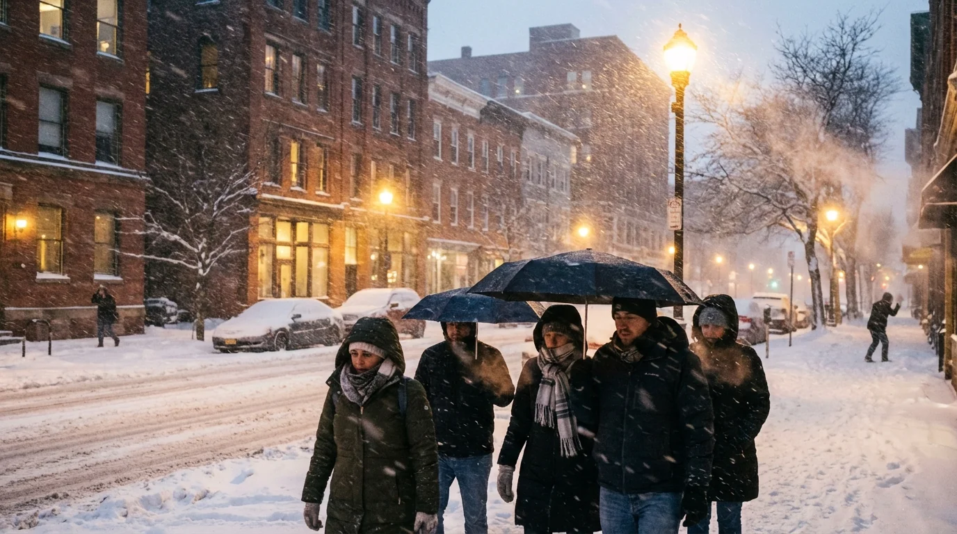
Buffalo is back in the crosshairs of winter. Narrow, fast building snow bands off Lake Erie are firing up this evening. Visibility can drop to near zero in minutes. Gusty winds will push the snow and turn roads slick, then icy as temperatures fall overnight. This is a high impact setup for commutes and power lines. Stay ready. ❄️
What is happening right now
Cold air is moving over the relatively warm waters of Lake Erie. That temperature contrast is fueling intense lake-effect snow. Bands are setting up south of the city, then wobbling toward downtown as winds shift. One neighborhood can see whiteout conditions while another, a mile away, is clear.
Winds are running strong across open areas and the lakeshore. Gusts are likely to reach 40 to 50 miles per hour in some spots. That is enough to create blowing snow and sudden drifts. If a heavy band stalls, snow will stack up fast. Travel can go from slow to stopped with little warning.
Pockets of freezing drizzle are also in the mix at the edges of the bands. That glaze will refreeze overnight. Side streets and untreated bridges will ice over late, then stay slick at daybreak.
Whiteouts will be sudden inside the bands, with near zero visibility at times. Delay nonessential trips. If you must drive, slow down and leave space.
How lake-effect snow locks onto Buffalo
Lake-effect snow forms when cold, dry air crosses warmer lake water. Heat and moisture rise from the lake, build low clouds, then dump snow when the air lifts over land. The longer the air travels over the lake, the stronger the band. Wind direction is the steering wheel.
In a west to southwest wind, bands target the Southtowns, Orchard Park, Hamburg, and Lackawanna. A small wind shift can shove the band into the city and the northtowns fast. The snow rate inside the core can top two inches per hour. Outside the band, skies can look almost calm. That sharp contrast is what makes this setup risky.
Timing and hazards through Tuesday
Expect the most intense bands to pulse this evening and overnight. The Tuesday morning commute faces the highest risk for low visibility, spin outs, and jackknifed trucks on open stretches. Secondary roads will be icy where freezing drizzle and refreeze set in.
Heavy, wet snow is possible when temperatures hover near freezing. Wet snow sticks to limbs and lines. Combined with 40 to 50 mile per hour gusts, it raises the threat of scattered outages. If a band sets up over lake shore communities, the wind plus sticky snow could be a tough mix for trees.
Local schools and services may announce delays if bands lock in. Plan for longer travel times and sudden closures if conditions worsen.

What to do now
Check for updates before every trip. The strongest band can shift in 15 minutes. Look at radar, wind direction, and advisories from the National Weather Service Buffalo office. For roads, use 511NY for live conditions and camera feeds. If the snow rate spikes, wait it out.
If you lose power, report it to your utility and avoid downed lines. National Grid and NYSEG have outage maps that update in real time. Keep phones charged and a backup battery ready.
- Build a quick kit now: headlamp or flashlight, spare phone battery, warm layers, water, snack, ice scraper, sand or kitty litter.
Bookmark these for real-time info: weather.gov/buf, 511ny.org, National Grid outage map, NYSEG outage map. Save them on your phone’s home screen for fast checks.
Climate context and what it means for Buffalo
Lakes that stay warmer into winter feed stronger bands. The Great Lakes have trended warmer in recent decades, especially in fall. A warmer lake loads the air with more moisture. That can make bands more intense until the lake cools or freezes. Buffalo knows this pattern well, but the window for high end bands is now stretching longer into early winter.
At the same time, temperatures often ride near freezing during these events. That favors heavier, wetter snow that clings to trees and power lines. It also means fast flip flops between slush and ice on roads. Managing salt use is key. Salt helps in a pinch, but it washes into creeks and the Niagara River. Use less on short walks and add sand for grip to cut runoff.
Smarter prep lowers risk and emissions. Combine trips, carpool when roads improve, and set home thermostats to a steady, efficient level. Seal drafts and close interior doors to conserve heat if the power blinks.
The bottom line
Buffalo is under a classic lake-effect setup, with fast shifting bands, strong gusts, and a glaze risk overnight. Expect hazardous driving, sudden whiteouts, and isolated power issues where heavy, wet snow meets wind. Keep trips flexible, check trusted local updates often, and stay storm smart. This is our weather, and we are ready for it.


