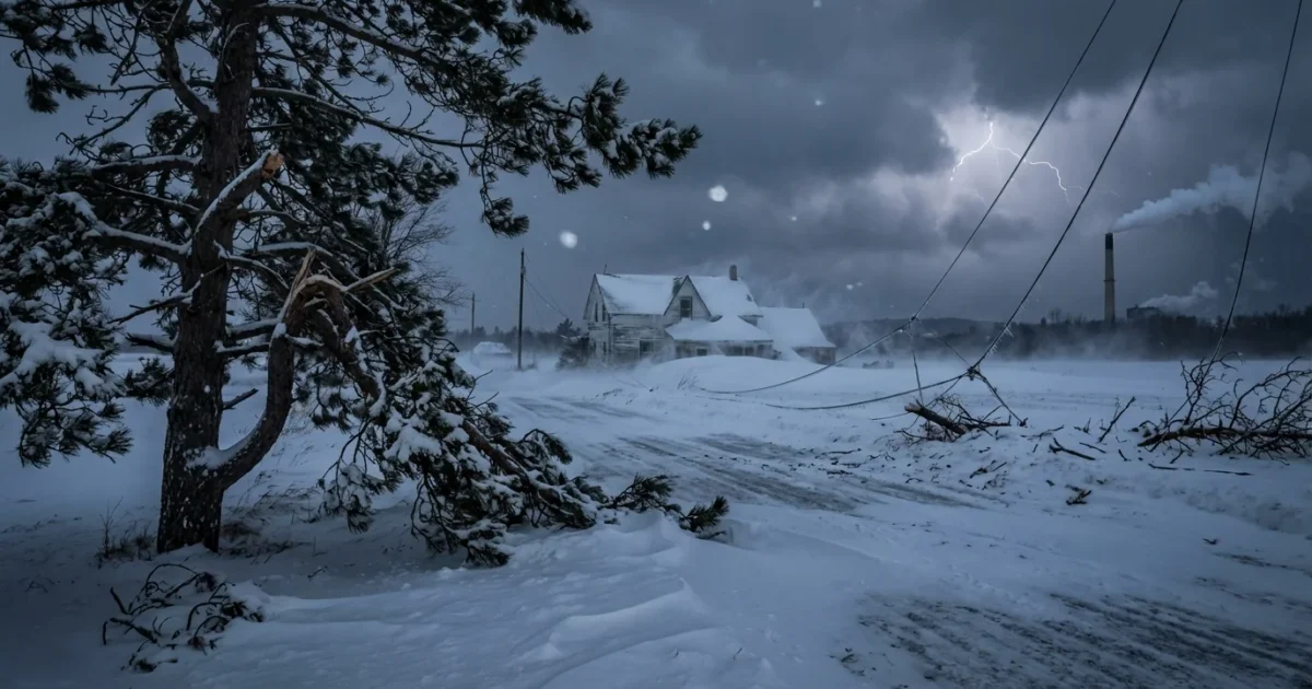
A brutal winter storm is exploding in strength right now, and it is lining up a direct hit on the Midwest, Great Lakes, and Northeast. I am tracking a rapidly deepening low that meets the textbook mark of a bomb cyclone. Snow is already building on the storm’s cold side. Winds are ramping up on the front edge. Travel will quickly become dangerous as whiteouts spread east and north.
What a bomb cyclone means, in plain terms
A bomb cyclone is a storm that strengthens very fast. Meteorologists use a simple rule to flag it. If the central pressure drops at least about 24 millibars in 24 hours, the storm is “bombing out.” That sharp drop is like removing a weight from the atmosphere. Air rushes inward and upward. Wind speeds jump. Snow bands tighten. The system becomes a weather engine that runs on strong contrasts in temperature and moisture.
This storm has tapped warm, wet air from the south and bitter air from Canada. That clash is the fuel. The result is heavy, wind-driven snow that can turn into a blizzard where gusts and visibility line up.
Who is in the path
The first heavy snow is sweeping across parts of the Upper Midwest, including sections of Iowa, Minnesota, and Wisconsin. From there, the core of the storm arcs into Michigan and the Great Lakes, where lake enhancement can boost totals. By tonight into tomorrow, snow and wind push into upstate New York, northern Pennsylvania, and interior New England. Along the coast, warmer air cuts totals at the water’s edge, but wind and surge become the main threats.
I expect localized totals of 12 to 18 inches in the hardest hit zones. Snowfall rates of 1 to 2 inches per hour are possible. Gusts may peak near 60 miles per hour around open lakeshores, higher ridges, and coastal headlands. That is enough to snap limbs and down power lines.
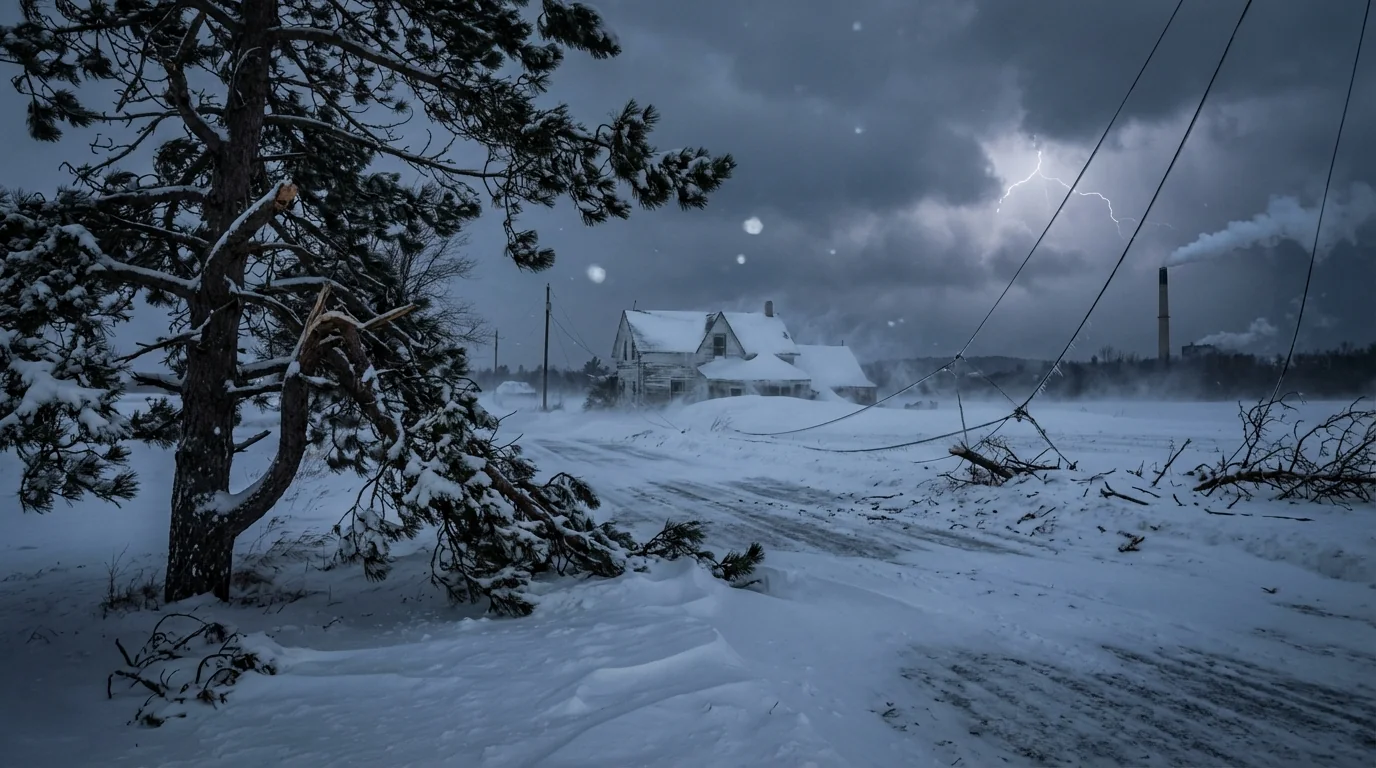
Blizzard conditions are likely in open areas near the Great Lakes and higher terrain of the Northeast. If you lose horizon and road edge, do not keep driving.
What to expect in the next 24 to 48 hours
This afternoon and evening, snowfall intensifies as the storm wraps up. Bands will pivot and stall, which can drop quick, uneven totals town to town. Visibility will collapse in squalls. Drifts will pile up fast on north and west facing roads.
Overnight, the wind field tightens. That is when the risk of power outages grows. If wet, heavy snow clings to trees, lines may fail. Temperatures will fall behind the low, which sets the stage for a flash freeze in some areas. Any slush on untreated roads can turn to ice before dawn.
By early tomorrow, the center of the storm will be near or north of the Great Lakes. On the backside, lake effect snow bands may lock in. Those narrow bands can add 6 to 10 inches on top of what already fell. Along the Northeast coast, strong onshore flow may push water into bays and inlets during high tide. Minor to moderate coastal flooding is possible in the usual hot spots, along with beach erosion and overwash.
Air travel will face a wave of delays and cancellations. Road crews will struggle to keep up where the wind keeps filling in cleared lanes. Expect school and business closures in the heavy snow zone.
Why climate matters for this storm
Weather is immediate. Climate is the long game. One storm does not prove a trend. Still, there are signals that matter here. Warmer oceans add moisture to the air. More moisture means stronger snowfall rates if the air is below freezing. That is why we can see heavy snow even in a warming world, especially in midwinter. A warmer atmosphere can also hold more water vapor, which can feed rapid deepening of storms.
Researchers are also studying how a warming Arctic may influence the jet stream. A wavier jet can set up sharp temperature contrasts and slow moving patterns. Those are ingredients for intense cyclones. The science is active and still evolving, but the broad direction is clear. A warmer planet loads the dice for heavier precipitation and higher-impact storms.
How to prepare and stay safe
If you are in the warning area, take action now. Focus on time sensitive steps while you still have daylight. Keep plans simple and local. Tell someone where you are going if you must travel.
- Charge phones, battery packs, and medical devices.
- Move vehicles off the street, and park facing out.
- Stock a 72 hour kit with water, ready to eat food, meds, and warm layers.
- Check flashlights, test smoke and carbon monoxide alarms.
- Clear storm drains and gutters to help with runoff after the snow.
Build a car kit with traction mats or sand, a shovel, blankets, and a bright flashlight. Top off your tank to prevent fuel line freeze and to run the heater if stuck.
Never run a generator or grill indoors or in a garage. Carbon monoxide builds fast and can be deadly without warning.
Bottom line
This bomb cyclone is a fast mover with a hard punch. Heavy snow, fierce gusts, and whiteouts will hit the Midwest and Great Lakes first, then the interior Northeast. Coastal areas should brace for strong winds and some flooding at high tide. If you act now, you can ride out this storm more safely. Stay off the roads during the peak. Respect local alerts. I will continue to track the pressure fall, wind field, and snow bands as the system matures and will update timing and totals as new data comes in.


