BREAKING: Blizzard warnings stretch from the Pacific Northwest to the northern Plains today, with near whiteouts and dangerous winds. I am tracking hurricane force gusts, heavy snow, and ice that has already knocked out power for more than half a million customers in Washington and Oregon. Travel is collapsing in spots. The storm is expanding east, and conditions will worsen through tonight and into tomorrow.
What’s happening now
Blizzard warnings are in effect across the northern Rockies, the High Plains, and parts of the Intermountain West. Gusts of 60 to 80 miles per hour are punching through mountain passes and open country. Those winds, paired with heavy snow, are turning roads into blind corridors. Visibility has dropped to near zero in the hardest hit zones.
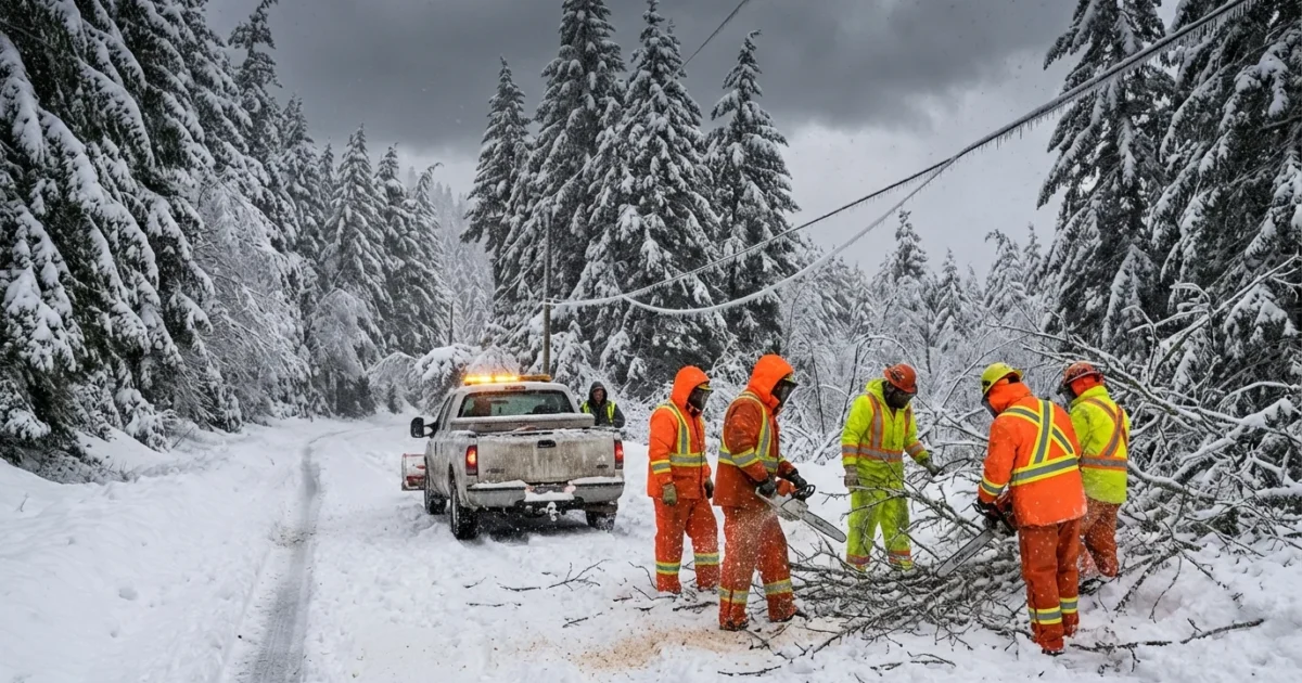
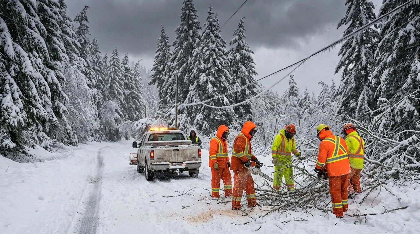
Along the Pacific Northwest coast, wind driven surf is pushing water onto roads at high tide. Low valleys are taking heavy rain, while the Cascades and Blues stack up deep snow. I am also seeing power systems strained by falling trees and iced lines. Crews are working, but access is risky.
Whiteout conditions can be deadly. If you cannot see the road, do not drive.
Why this storm is so wide and fierce
A disturbance in the polar vortex has pushed the jet stream into a sharp, wavy pattern. Think of the vortex as a ring of very cold air that lives high over the Arctic. When that ring weakens and wobbles, cold air spills south. At the same time, warm Pacific air noses farther west and north.
This setup explains the strange split we see today. The East and parts of the Midwest have built a thick early season snowpack. The West, away from the mountains, has been unusually mild and dry. Where the cold and moist air now meet, storms can grow very large. They tap strong temperature contrasts, which feed wind and lift, and that means heavier snow and stronger gusts.
Climate change adds stress to this pattern. A warmer Arctic reduces the temperature gap between poles and midlatitudes. That can allow more frequent jet stream meanders, which raise odds of slow moving, high impact winter storms. Warmer air also holds more water, so when it is cold enough, snowfall can be intense.
Regional impact and timeline
Pacific Northwest, today through tonight
Powerful winds continue along the coast and lowlands. Expect more tree damage, spotty coastal flooding, and mountain snow that piles up rapidly. Travel over passes will be hazardous and may close at times.
Northern Rockies and High Plains, next 12 to 24 hours
Blizzard conditions will peak as the core of the storm crosses Montana, Wyoming, and the Dakotas. Drifts will block rural roads. Livestock exposure risk is high. Keep animals sheltered if you can.
Upper Midwest and western Great Lakes, 24 to 48 hours
The storm slides east with bursts of heavy snow, sharp squalls, and airport delays. Strong winds will blow and redeposit snow, keeping visibility low even after the heaviest bands pass. Lake effect snow ramps up on the back side.
Safety and preparedness
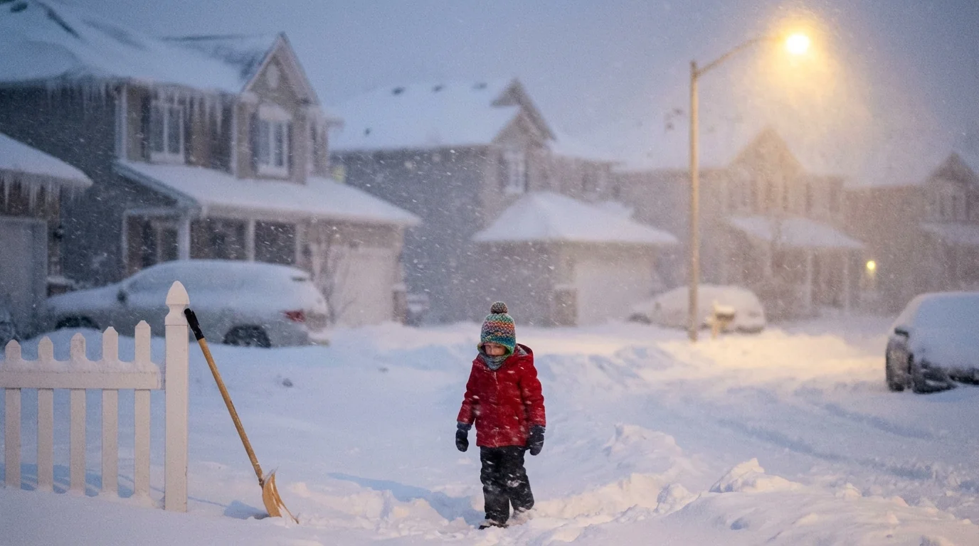
If you are in the warning area, act now. Roads can go from wet to lethal in minutes. Power may fail again as winds peak and temperatures drop. Plan to be self sufficient for at least 72 hours.
- Charge phones, battery packs, and medical devices.
- Gather water, shelf stable food, and essential medicines.
- Check heat sources. Never use a grill or generator indoors.
- Keep your gas tank at least half full. Park away from trees if possible.
- Check on neighbors, especially elders and those with infants.
Place flashlights and a battery radio where you can reach them in the dark. Know how to manually open your garage.
Downed lines can be live. Stay at least a full tree length away and call your utility.
Climate and sustainability lens
Big winter storms are natural, yet their fingerprints are changing. Warmer oceans are feeding storms more moisture, which can become heavy snow when Arctic air arrives. At the same time, a milder West raises water supply questions. Mountain snowpack is a winter reservoir for millions. This storm’s snow will help in some basins, but the uneven pattern shows why we need resilient systems.
Stronger grids, smarter outages, and weather ready buildings matter. Tree trimming, buried lines, and microgrids reduce blackouts. Heat pumps, good insulation, and induction cooktops keep families safer when storms strike. These choices cut emissions and harden communities for the next blow.


