A blast of Arctic air is surging south today, locking in bitter cold and setting the stage for a fast, disruptive snowstorm from the Plains to New England. I am tracking snowfall bands now forming on the leading edge of this cold wave. Travel will turn slick in hours, not days. The first flakes for parts of southern New England arrive this weekend, while the West prepares for a train of Pacific storms that will load the mountains with snow and squeeze the coast with wind and surf.
Breaking Now: Arctic cold meets fast snow
The pattern flipped hard. Temperatures are running 20 to 40 degrees below average across a broad swath of the country. That includes the Upper Midwest, the Ohio Valley, and much of the East. By Sunday morning, some northern tier towns could touch minus 20 F. Afternoon highs in the deep Midwest will struggle to reach the teens.
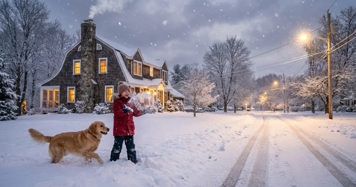
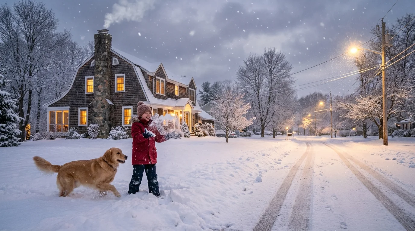
Snow is riding the boundary between this Arctic dome and milder air to the south. Most areas in the Plains, the Ohio Valley, and along the I-80 corridor will see 1 to 4 inches. Southern New England is on track for its first measurable snow of the season. Connecticut may see up to 3 to 4 inches, with over 4 inches possible on Long Island where coastal lift enhances bands.
Dangerous wind chills will bite hard in the Midwest, with values near minus 30 F at times this weekend.
Regional timing and impacts
Midwest and Great Lakes
Snow breaks out in bursts today and Saturday, then the bottom falls out on temperatures. West central Illinois faces two rounds. Totals will reach about 5 inches by late Saturday in favored zones north of Rushville. Highs near 17 F, lows near minus 7 F, and brutal wind chills will turn any blowing snow into a safety risk. In Michigan’s northwest Lower Peninsula, places like Manistee can expect around 2 inches, roads turning slick as readings drop below 10 F.
Ohio Valley to the Mid Atlantic
A quick hit of snow will slide east along the Ohio River and into the spine of the Appalachians. Most towns see 1 to 3 inches. The back side of the storm will drag much colder air into cities from Cincinnati to Washington. Black ice is likely overnight after the snow ends.
Southern New England and Long Island
The storm arrives Saturday evening and peaks overnight. Roads will glaze fast as temperatures dip below freezing. Expect 2 to 4 inches in much of Connecticut and Rhode Island, 1 to 3 inches for southern Massachusetts, and local totals over 4 inches across Long Island where banding lines up over the Island.
- Expected snowfall: Plains and Ohio Valley 1 to 3 inches, I-80 corridor 2 to 4 inches, southern New England 2 to 4 inches, Long Island over 4 inches in spots
Why this is happening, and what it means
The polar vortex has been disrupted. That means stratospheric winds over the Arctic weakened, then shifted. Cold air that is usually locked near the pole spilled south. When that cold collides with a fast jet stream, you get quick, sharp snow events and flash freezes.
Out West, a different engine is revving up. A series of atmospheric rivers is taking aim at Northern California from mid to late December. These are long ribbons of deep Pacific moisture. They feed heavy mountain snow, soaking coastal rain, strong winds, and rough surf. The Bay Area has a high chance to see at least an inch of rain in the run up to Christmas. Mountain zones can collect several inches of liquid, which means feet of high elevation snow.
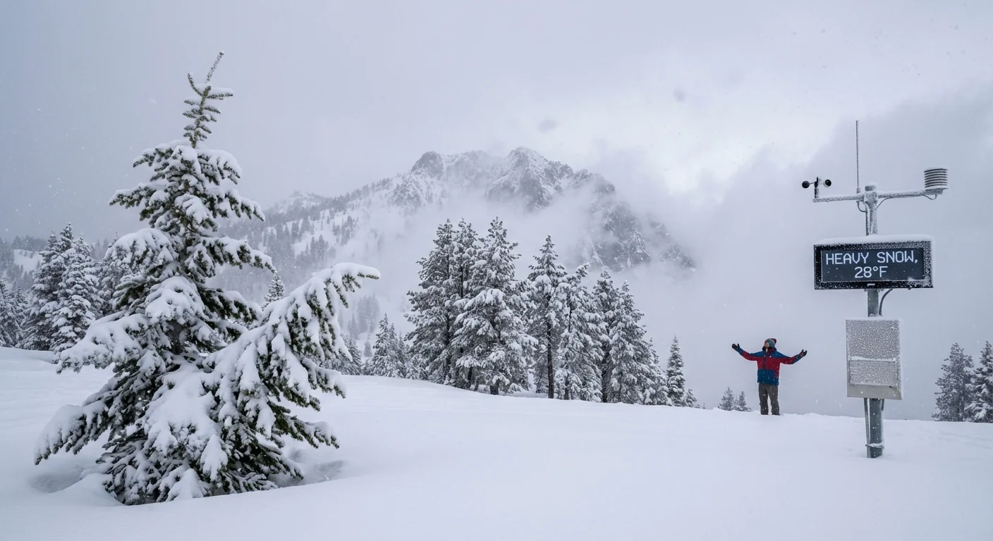
Northern California should prepare for back to back storms, with heavy mountain snow and periods of coastal wind impacts.
This is winter weather with a climate signature. A warming Arctic can twist the jet stream into larger, slower curves at times, which can unlock deep cold intrusions. Warmer oceans load the dice for wetter atmospheric rivers, even as snow levels jump between storms. The result is a nation dealing with both intense cold and water heavy storms in the same week.
How to prepare and travel safely
Cold this deep and snow this quick demand simple steps now.
- Delay non essential travel during peak snow bands and overnight freeze.
- Pack a winter car kit, including layers, water, snacks, a phone charger, and a shovel.
- Salt or sand driveways and steps before the snow, not after.
- Protect pets and pipes. Bring animals inside and drip faucets in the coldest rooms.
- Conserve energy in the evening to ease grid stress during the coldest hours.
If you must travel, tell someone your route and arrival time, and keep your tank at least half full.


