An urgent alert tonight. A deep Arctic blast has overtaken the central and western United States, and I am confirming multiple Extreme Cold Warnings in effect. Dangerous wind chills and subzero air temperatures are gripping communities from North Dakota to the Pacific Northwest. This is life threatening cold, even without strong wind. Stay inside if you can. Check on neighbors. The risk is real.
What an Extreme Cold Warning means now
The National Weather Service changed its cold alerts last year to make them clearer. The old Wind Chill Warning is now called an Extreme Cold Warning. The aim is simple. Cold by itself can be deadly, wind or no wind. The supporting advisory is now called a Cold Weather Advisory, and watches also use Extreme Cold. Local thresholds vary by region, but the message is the same. Take immediate action to protect your body, your home, and your travel plans.
Extreme Cold Warning means the cold alone can be dangerous. Do not wait for stronger wind to treat this as an emergency.
What is driving this outbreak
A surge of Arctic air has dropped south behind a strong cold front. The polar jet has buckled, letting frigid air spill into the Plains, the Midwest, and parts of the Northwest. Some areas are running 15 to 25 degrees below normal for mid December. You will feel it in your lungs, you will see it in the frost on steel and glass.
Cold outbreaks still happen in a warming world. A warmer Arctic can shift pressure patterns, which sometimes leads to larger swings in the jet stream. That can allow short, sharp bursts of cold to reach farther south. The long term trend is warmer, but extremes at both ends can intensify. Planning for both heat and cold is now part of climate resilience.
Impacts unfolding tonight
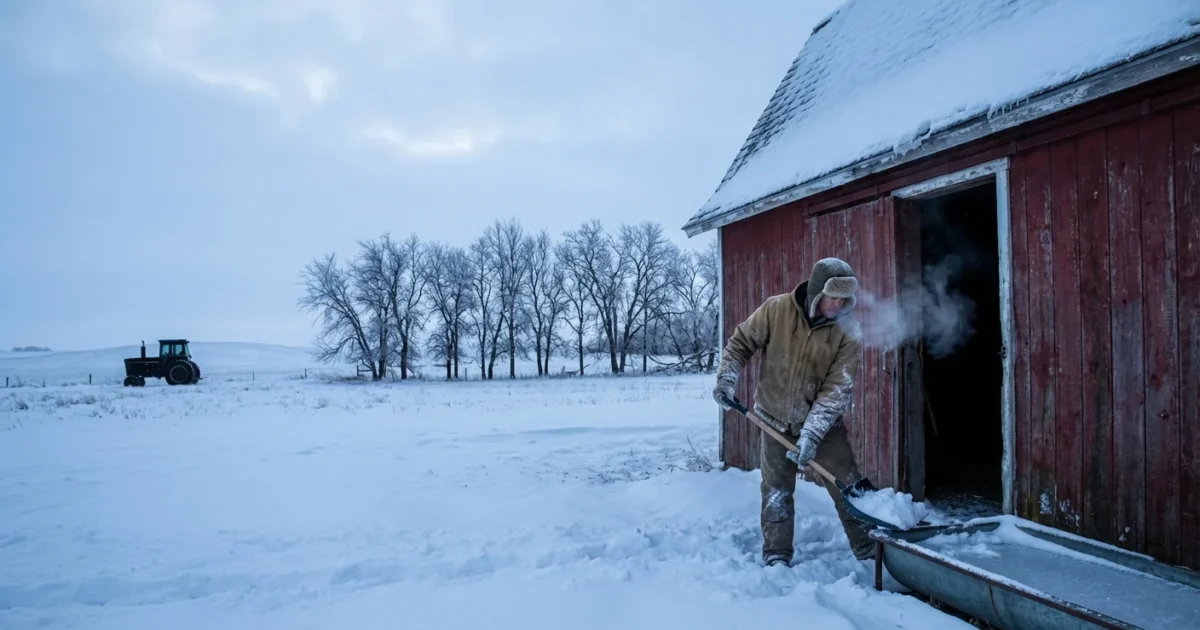
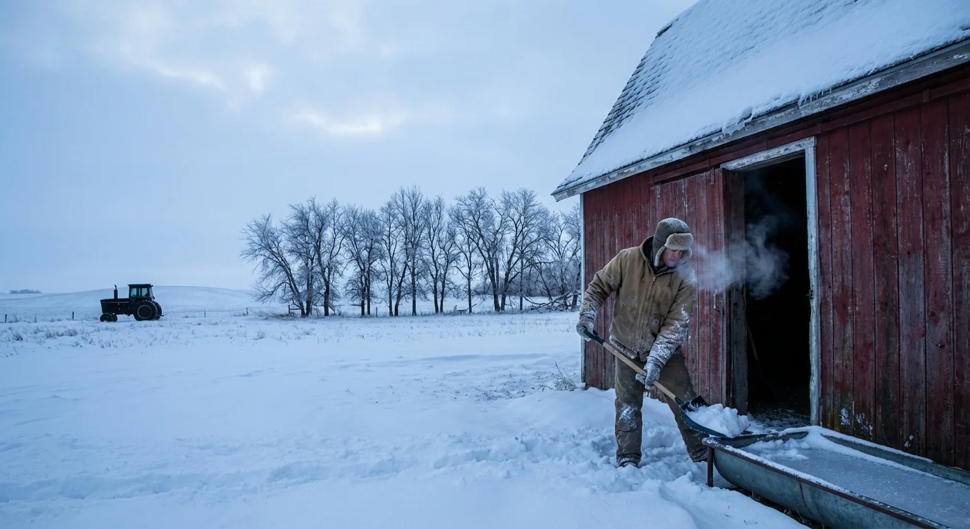
The northern Plains are hardest hit right now. In North Dakota, wind chills are plunging to near 40 to 45 below zero. At that level, exposed skin can freeze in about ten minutes. Outdoor chores and farm work must be limited to short bursts with warm up breaks. Schools and employers should plan for delayed starts and indoor shifts.
Chicago is bracing for bitter conditions as the Bears host the Browns at Soldier Field. Organizers have opened warming areas inside the stadium and adjusted security so fans can use battery heated clothing. Hot drinks are stocked. If you are attending, dress in layers, keep your face covered, and have a plan to warm up often. Public transit riders should expect long waits in the cold and dress for it.
Roads across the central U.S. are slick tonight. Freezing fog is creating black ice in pockets, especially on bridges and rural routes. Farther west, heavy snow and strong winds are cutting visibility. In the Pacific Northwest, colder air is following a stormy week, and some passes are seeing rapid icing. More than 18 million people are under some form of winter alert. Travel only if you must, and slow down.
At minus 35 to minus 45 wind chill, frostbite can begin in about 10 minutes. Limit skin exposure. Cover hands, feet, nose, and ears.
How to act now
If you need to go out, keep it short. Layer up, cover skin, and move with purpose. Indoors, set your heat a little higher than normal to avoid overnight drops. Open cabinet doors under sinks that sit on exterior walls to keep pipes warmer. If you lose heat, head to a warming center. Do not use grills or generators indoors. Carbon monoxide can build quickly and without any smell.
Event organizers and community leaders should switch to cold-weather operations. Stage warming spaces, expand outreach to unsheltered residents, and increase checkpoint wellness calls. Power demand will spike, so energy efficiency matters. Lower window drafts with towels, draw curtains tight at night, and avoid running appliances you do not need.
- Pack your vehicle: blankets, hat and gloves, high energy snacks, water, scraper, phone charger
- Keep your fuel tank at least half full, diesel owners should use anti gel
- Check tires and battery, weak batteries fail fast in subzero cold
- Tell someone your route and arrival time, then stick to main roads
Dress for 15 minutes colder than the forecast. That means extra layers, a windproof outer shell, and dry backup socks and gloves.
Building cold resilience
We are seeing the same lesson cities learned from recent heatwaves. Prepared buildings save lives. Weatherize now if you can, with attic insulation and sealed air leaks. Heat pumps and high efficiency furnaces can work in severe cold if sized and installed well, and modern cold climate models hold up below zero. Communities should map and publicize warming centers every winter, and test backup power at those sites. Stronger grids, better transit shelters, and tree windbreaks all reduce risk. These investments pay off every year, not just on a night like this.
Strong finish here. The cold is surging, the warnings are in place, and the hazards are clear. Limit exposure, prepare your home and vehicle, and use warming centers if you need them. I will keep tracking the core of this Arctic air through the night. Stay safe, and check on someone who might need help.


