Snow is stacking up fast across Massachusetts today. Bands of heavy flakes are sweeping east, then stalling, then dumping again. Roads are turning slick, and visibilities keep dropping in bursts. I am tracking measurements as they come in, and many cities are already past the halfway mark of this storm.
Where the snow is piling up
This is a classic New England setup, with sharp gradients over short distances. The jackpot zone is lining up from the Worcester Hills through the Merrimack Valley, where colder air and steady bands are locked in. Coastal areas are seeing a wetter, heavier snow. Far southeast, a touch of ocean air is trimming totals.
Here is the snapshot as of early evening, with more to come overnight:
- Worcester Hills and higher terrain, 6 to 9 inches possible by daybreak
- Merrimack Valley and north of Route 2, 5 to 8 inches where bands park
- MetroWest to Boston’s near suburbs, 3 to 6 inches, locally higher under a strong band
- South Shore, Cape, and Islands, 1 to 4 inches, lowest where mixing lingers
Expect sharp differences between neighbors. A town under a persistent band picks up two inches in an hour. Five miles away, it is flurries. That is how this storm breathes.
Why totals are so different
Two drivers are in play. First, banding. Narrow snow bands form along a wind shift and a lift zone. If one sits over your street, your totals jump. If it moves, your totals stall.
Second, the ocean. Warmer coastal waters feed more moisture into the storm, which can boost snowfall rates near the shore. The same ocean air also warms the lowest mile of the atmosphere. That makes the snow wetter, and it can mix with sleet near the Cape and Islands. The result is a tight gradient from slushy roads near the coast to plowable powder inland.
Climate signals are inside this storm. Winters are warming in the Northeast, especially at night. That means more mixed events near the coast, fewer steady light snows, and a higher risk of bursty heavy bands when cold and moisture line up. Today’s setup checks those boxes.
The next 12 to 24 hours
The steadiest snow focuses from late Sunday into early Monday. A few intense bands will pulp the visibility to a quarter mile. Rates near one inch per hour are likely where those bands lock in. Wind is modest inland, a bit gusty along the south coast.
By the Monday morning commute, most of the state will have hit its peak totals. Road crews catch up as rates ease. Light snow or flurries linger midday, then taper west to east. Skies try to break late day inland, with temperatures near freezing.
Allow extra time for the Monday morning drive. Even treated roads will be slick under bursty bands and at bridge decks.
If you live along the south coast and Cape, watch for slushy build up, ponding at drains, and quick changes in traction with passing bands.
Travel, power, and plows
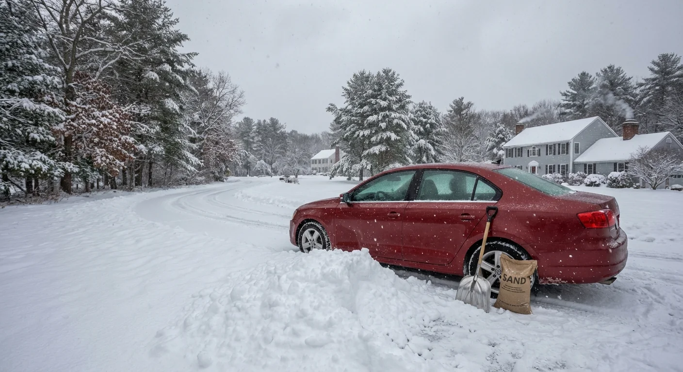
This is a plowable, not crippling, winter storm for most of Massachusetts. The heavy, wet snow near the coast will cling to branches. Widely scattered outages are possible, mainly where a stiff onshore breeze lines up with sticky flakes.
Crews are brining and salting main routes. Side streets will lag until the heaviest bands pass. Parking rules and overnight bans are in effect in several cities, so move cars off posted routes to help the plows.
If you must drive, go slow, leave space, clear your lights, and keep a small shovel and sand in the trunk.
Sustainability and winter readiness
Today’s storm offers a lesson for the season ahead. A warmer base climate shifts more storms into the messy middle, with rain and wet snow near the ocean and powder inland. The moisture boost can turn routine systems into short, intense bursts. Towns should plan for quick deployment when rates surge, and for smarter salt use to protect rivers and bays.
Residents can help too. Shovel in stages so snow does not freeze hard. Keep hydrants clear and drains open to limit street flooding when melt begins. Use just enough salt to break the bond, then sand for grip. That keeps our waterways cleaner after the thaw.
Bottom line
Snow totals are climbing, with the highest amounts from higher terrain west and north of Boston, and lighter, wetter snow along the south coast and Cape. Many communities finish near 4 to 8 inches where bands hold, with local 9 inch peaks in the hills, and less where mixing cut rates. The worst of it rides through tonight into early Monday, then gradually eases. Keep trips short, respect the plows, and take care of your block. This is winter doing what winter does, with a little extra moisture in the air. ❄️


