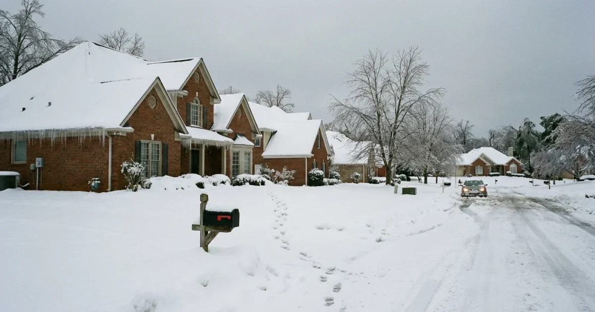
Breaking now, Georgia is staring down a high-impact winter storm this weekend. The bullseye is ice. Freezing rain and sleet could turn roads into rinks, snap tree limbs, and cut power. This is a classic Southern ice setup, and it can change fast. A two degree shift will decide who gets cold rain and who wakes to a glaze of ice. ❄️
What is setting up
Cold air is slipping south from the Appalachians. It is shallow and dense, hugging the ground. Warmer, wetter air from the Gulf rides up and over it. That is a recipe for freezing rain in the wedge, sleet on the edge, and cold rain to the south. I am tracking a sharp temperature gradient from the mountains to the fall line. The dividing line may wobble through the weekend.
Sleet forms when snowflakes refreeze into ice pellets. Freezing rain falls as liquid, then freezes on contact. The latter is the problem. It coats everything, even if air temps hover near 30 to 32. Small changes in ground or tree temperature will make a big difference.
Two degrees can flip outcomes. If you sit at 33, you get a cold rain. At 31, you glaze over.
Timeline and expected impacts
The first round builds Saturday afternoon and evening. The window for the worst icing looks Saturday night into Sunday morning. North Georgia has the highest odds for damaging ice. Metro Atlanta sits near the rain and ice line. A small nudge colder would push icy impacts into the city and inner suburbs. Central Georgia could see a light glaze, mainly on bridges and trees.
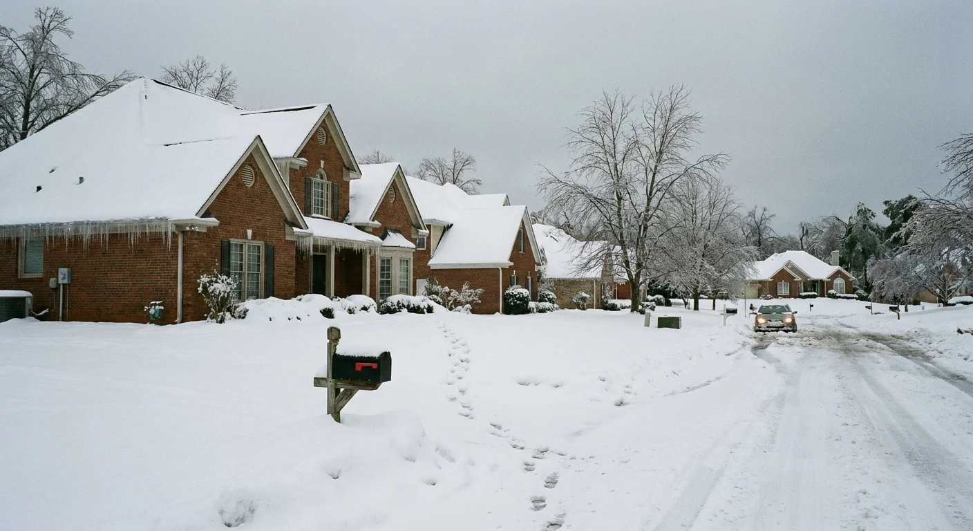
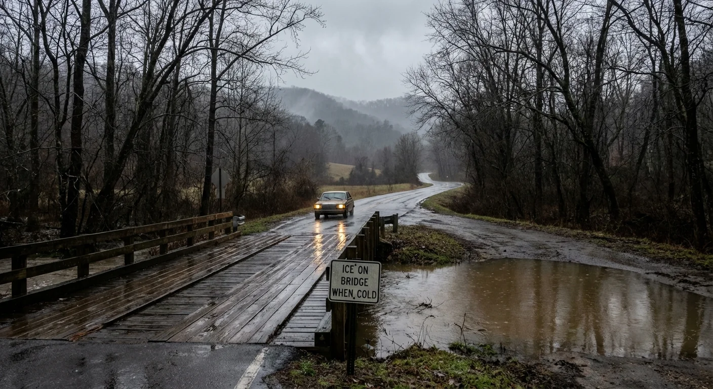
I expect slick roads to form first on bridges, overpasses, and shaded spots. Trees that still carry pine needles will catch the most ice. Ice loads can pull limbs onto lines, which means scattered to widespread outages. Travel may be hazardous, especially before sunrise Sunday. Refreezing is likely Sunday night where skies clear and winds calm.
Do not drive on glazed roads in the dark. Black ice looks like wet pavement. It is not.
Region by region guide
North Georgia mountains and foothills
Cold air here is deepest. Freezing rain and sleet are likely at times. Ice may build on trees and lines. Avoid travel Saturday night. Secure outdoor gear now. Move cars out from under big limbs.
Metro Atlanta and I‑285 to I‑20 corridors
You are on the knife edge. If surface temps dip to 31 or 32, expect slick spots and tree ice. If you stay at 33 or 34, it is a cold soaking rain. Prepare as if it will ice. Charge devices. Plan to stay put from Saturday evening through Sunday morning.
Central Georgia, including Macon and the fall line
A light glaze is possible on elevated roads. Most roads may be just wet if temperatures hold at 33 or higher. Power issues are less likely, but not off the table. Delay nonessential travel during any heavy bursts.
South of the fall line
Mostly cold rain. Watch for brief sleet at the northern edge of this zone. No widespread ice expected, but localized slick bridges are possible near sunrise if temperatures dip.
What to do in the next 24 to 48 hours
I want you ready for at least 72 hours of disruption, just in case. Focus on heat, light, food, and safe travel. Do these now:
- Charge phones, batteries, and power banks. Keep chargers in one place.
- Fill prescriptions, fuel vehicles, and top off windshield washer fluid.
- Stock simple foods that do not need cooking. Gather water for 3 days.
- Set home heat a touch higher now, then conserve during the storm.
- Park away from tall pines and lines. Bring pets and plants inside.
If you use a generator, keep it outside, away from doors and vents. Never use a grill or stove for heat. Check smoke and carbon monoxide alarms today.
Limit driving during the icing window. If you must go, go slow. Increase distance. Treat dark patches as ice. After the storm, watch for falling limbs even if the sun is out.
Climate context and sustainability
This is a weather whiplash event in a warming world. Warmer air holds more moisture. When that moisture rides over shallow cold air, ice risk grows on the margins. We are living with more moisture and still seeing bursts of Arctic air. That mix raises the odds for high-impact ice storms in the Southeast, especially near the 32 degree line.
Georgia’s grid and trees feel this strain. Pine-heavy canopies are vulnerable to ice loads. Power demand spikes as homes heat up, then outages force risky backup heating. We can blunt future impacts with smarter choices that also cut emissions:
- Weatherize homes, add insulation, and seal drafts to use less heat.
- Trim at-risk limbs near lines, plant native, wind-flexible species.
- Install surge protectors and consider battery backups with solar.
- Shift nonessential electricity use away from peak cold hours.
Stay alert, stay safe
This storm will not treat every county the same. Small temperature swings will change outcomes hour by hour. I will keep tracking the wedge, the moisture feed, and the freezing line. Keep your phone charged. Enable emergency alerts. Check on neighbors who may need help. Prepare today, pause travel tonight, and heat your home safely. We get through winter storms by planning, by patience, and by looking out for each other.


