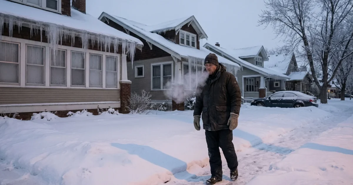
Minnesota is bracing for a deep and dangerous freeze. An Extreme Cold Watch begins Thursday night, locking in the coldest stretch of this winter so far. Subzero air will hold on for days, and wind chills will bite hard. This is a rare, prolonged event. Treat it like a storm, even if the sky looks calm. ❄️
What the Extreme Cold Watch means and when it hits
An Arctic air mass settles in Thursday night and does not let go quickly. I expect many locations to stay below zero for roughly 60 hours, through at least early Sunday. The worst cold will center on Friday night into Sunday morning, when wind chills drop to life threatening levels in open areas.
Travel will slow. Salt works less in extreme cold. Cars struggle to start. Schools and events may shift plans. Expect strain on heating systems and a spike in energy use. If you must be outside, keep trips short and cover all skin.
- Onset, Thursday evening and overnight
- Coldest period, Friday night to Sunday morning
- Gradual ease, Sunday afternoon and night
- Lingering chill, early next week
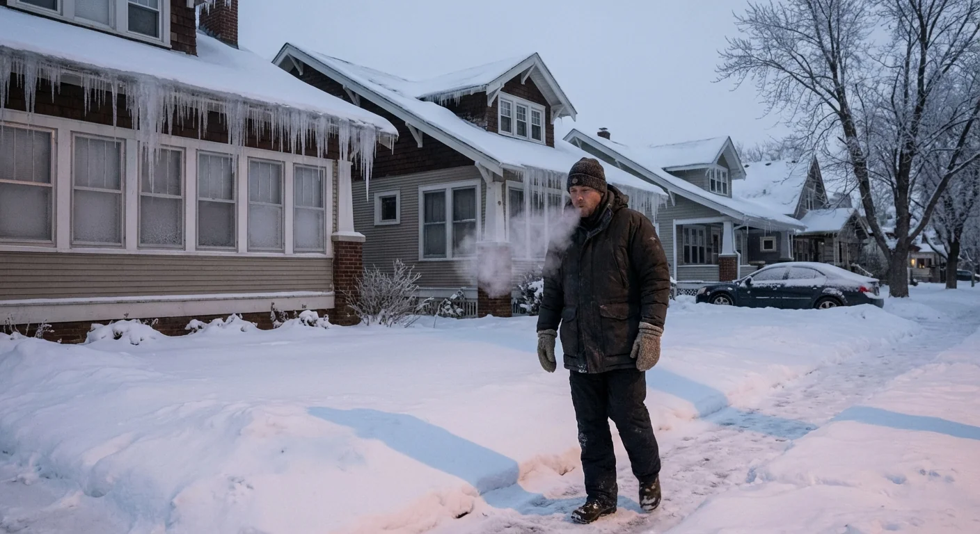
Wind chills will be dangerous, especially late Friday through Sunday morning. Frostbite can set in fast on exposed skin. Limit time outside, and bring pets in.
Why this is happening, and the climate context
This outbreak is a classic Arctic plunge. High pressure builds over Canada. The jet stream dips south, pulling frigid air into the Upper Midwest. Clear skies and long winter nights let temperatures crash. Fresh snow cover, where present, makes the cold even sharper.
Cold snaps like this still happen in a warming world. That part matters. Winters in Minnesota are trending warmer on average, with more midwinter thaws and rain on snow. But the atmosphere does not warm evenly. A rapidly warming Arctic can disrupt normal patterns, which sometimes allows bitter air to spill south in short, severe bursts. So we can hold two truths. The long term is warming, yet dangerous cold can still strike.
A brutal cold wave does not disprove climate change. It illustrates how a stressed climate system can deliver sharper swings.
How to prepare, home to highway
Treat the next 72 hours as a safety and comfort mission. Small steps now will pay off when the thermometer drops.
- Layer up, cover skin, and wear insulated boots and gloves
- Protect your home, drip faucets, open cabinet doors, and seal drafts
- Prep your car, full tank, jumper cables, warm blankets, and a phone charger
- Check on neighbors, seniors, and anyone living alone
Set a reminder to start your car early, even if you are not driving. Keep a spare battery pack charged. Test smoke and carbon monoxide alarms tonight.
If your home uses space heaters, keep them on a flat surface, three feet from anything that can burn. Never run a generator or grill indoors or in a garage, even with the door open. If you feel dizzy or nauseated, get fresh air fast and call for help.
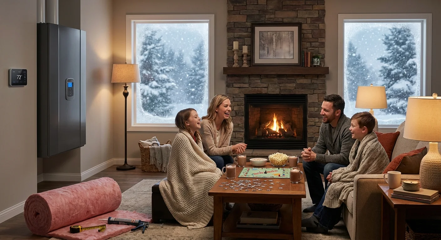
Energy demand and safer heating, a sustainability snapshot
Heating demand will surge. That strains furnaces, boilers, and the grid. You can stay warm and help the system by setting your thermostat to the lowest comfortable setting, closing blinds at night, and sealing door drafts with towels. Avoid running large appliances during peak evening hours.
Heat pumps and high efficiency furnaces perform better in well sealed homes. If your house is drafty now, note the cold spots. This is real world data you can use later for weatherization, added insulation, and window fixes. Simple steps cut bills, reduce emissions, and make your home more resilient when the next Arctic shot arrives.
Public works crews will work through the cold, but expect delays. Buses may idle longer. Trains can face mechanical issues. If you must travel, keep extra layers and water in the car, slow down, and watch for black ice at intersections and on bridges.
Community care in a hard freeze
Extreme cold hits the most vulnerable first. That includes people without stable housing, outdoor workers, and anyone with limited heat at home. Cities and counties often open warming centers during long cold snaps. If you have room in your car, offer a ride to a warm place. If you have spare gloves or hats, share them. A quick call can be a lifeline. ❤️
This is a test of readiness as much as endurance. Minnesota knows winter, but this level of cold demands respect. The watch begins Thursday night and lasts into the weekend. Plan now, move carefully, and help someone nearby do the same. When the air is this cold, community is warmth.


